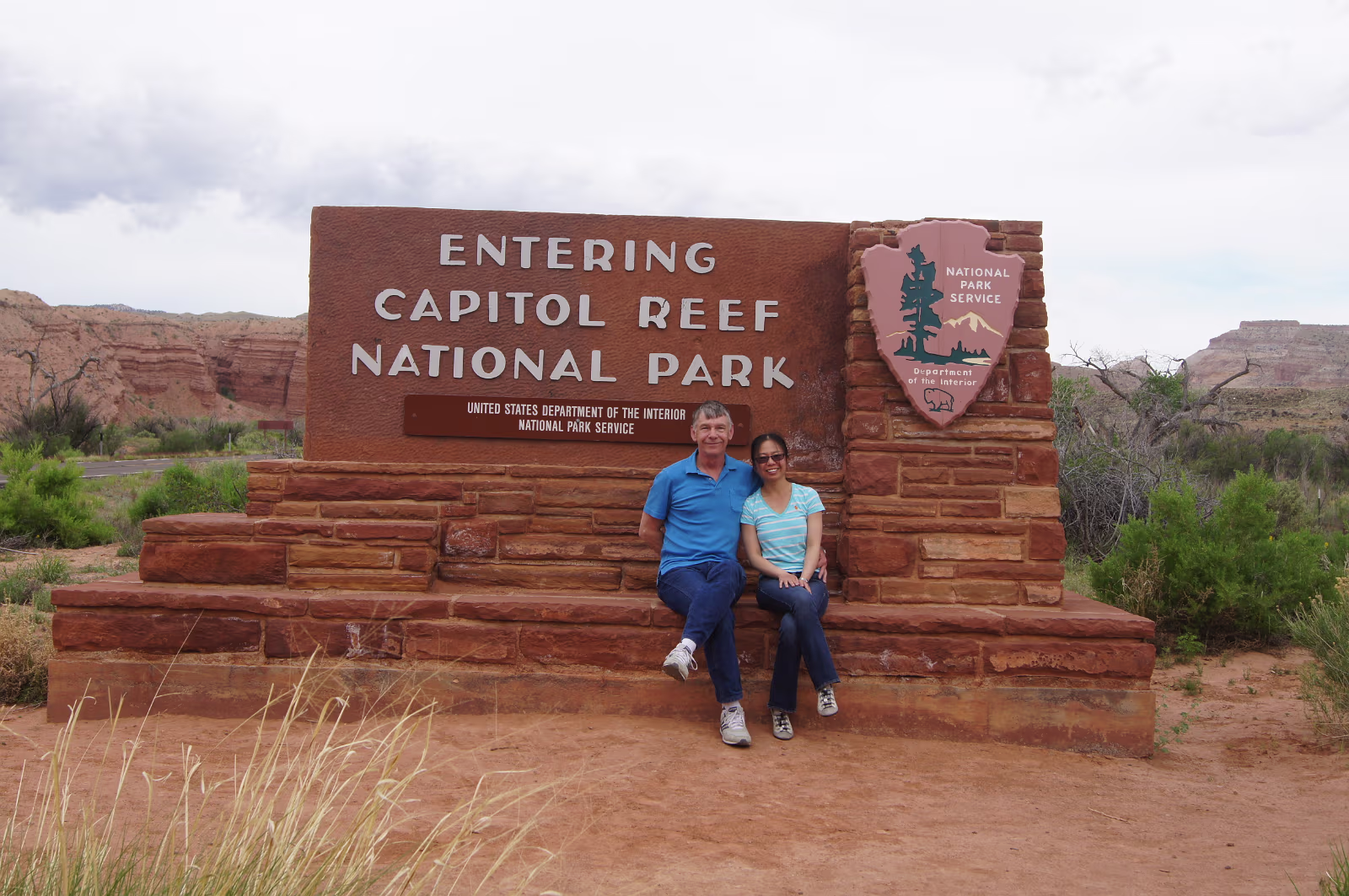
Our 7th park, we're sitting down to save our energy.
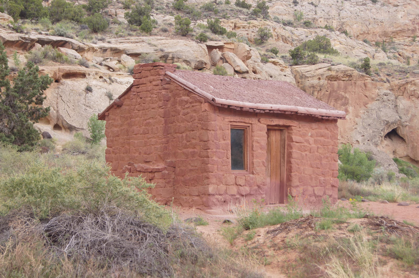
This was home for a Mormon family of 13 people!
Kept everyone outside and busy I guess.
Kept everyone outside and busy I guess.

Fruita Historic District is inside the park.
It was a Mormon settlement until 1969, and didn't change much at all outside electricty.
This is the blacksmith…
It was a Mormon settlement until 1969, and didn't change much at all outside electricty.
This is the blacksmith…
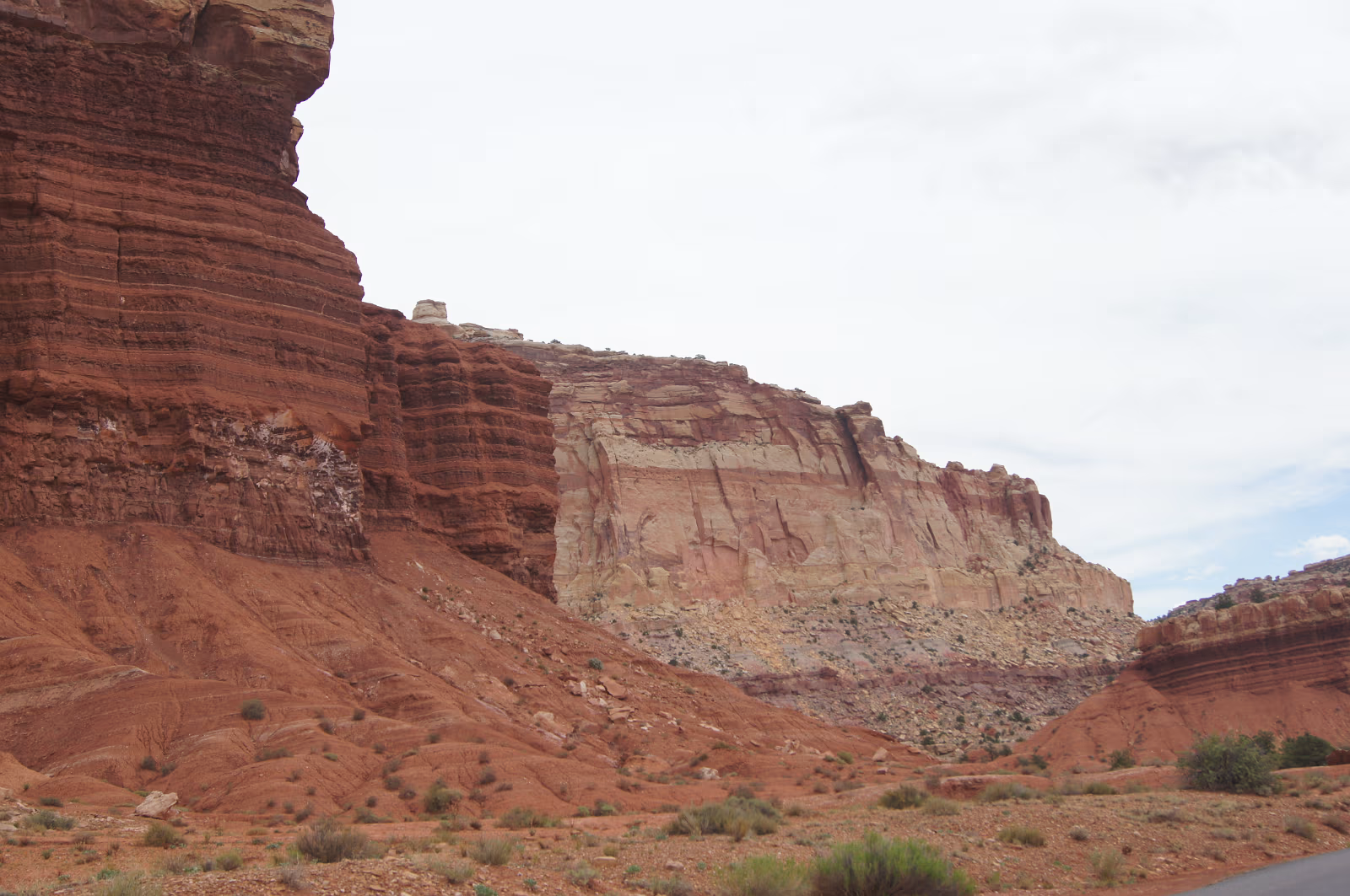
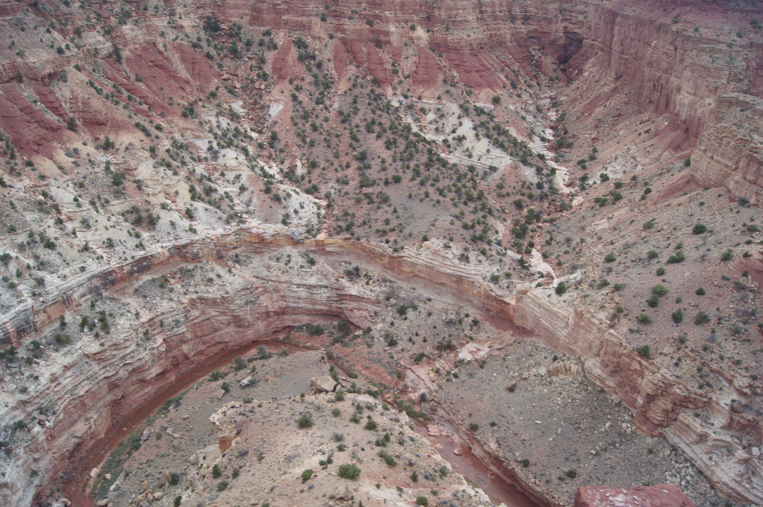
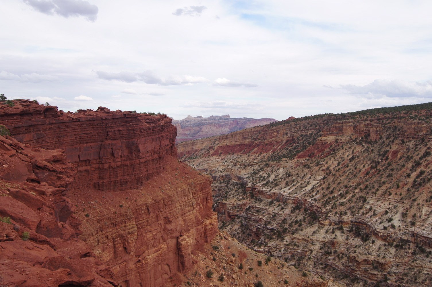
This is a monocline. It is where one plate went under another.
The result is that water does not go past the monocline.
The result is that water does not go past the monocline.

Abandonned uranium mines are all over the area and here are two.
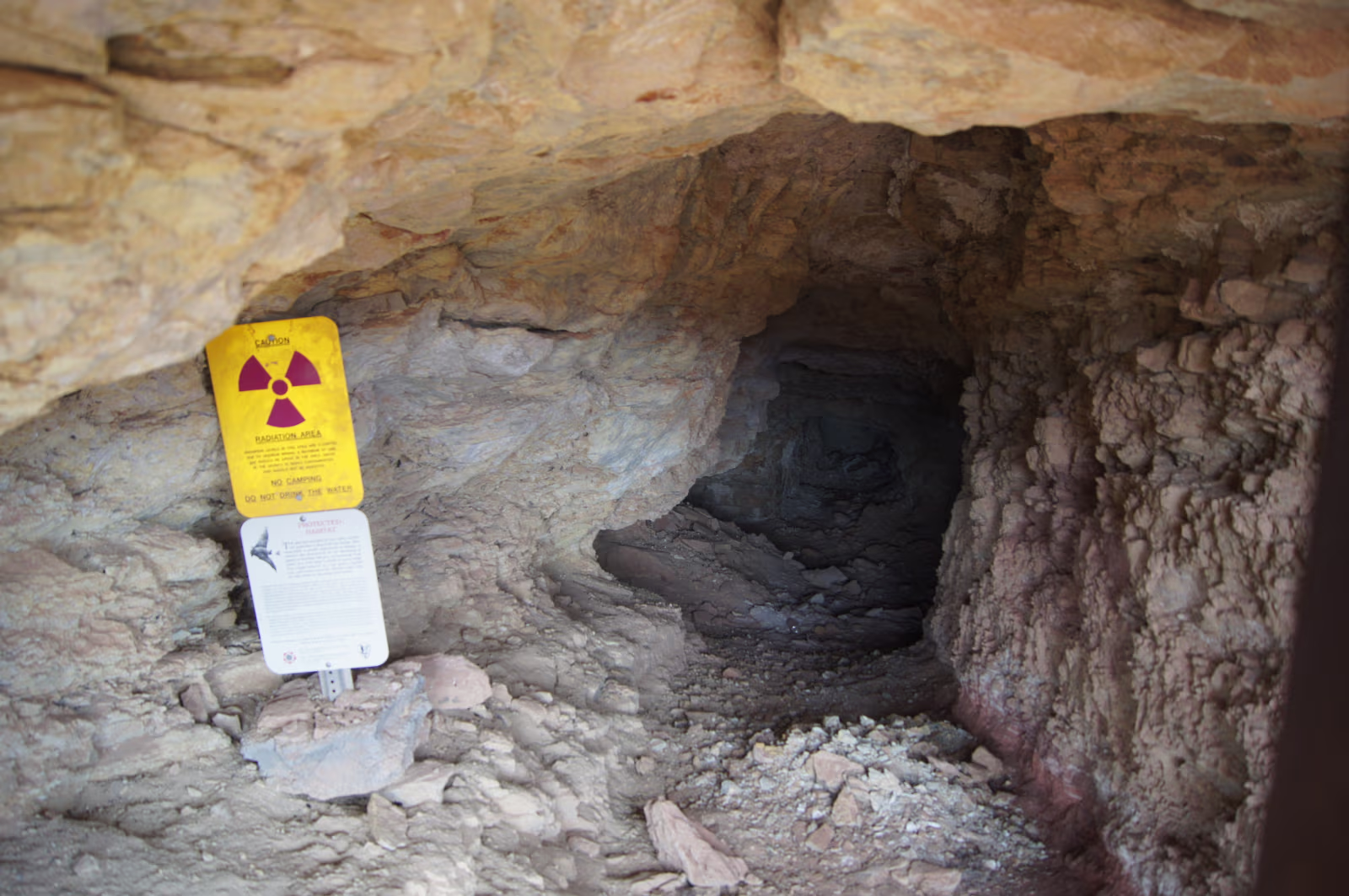
The mine shaft entrance has lovely signs warning about radiation.
Also says you shouldn't camp here.
Also says you shouldn't camp here.
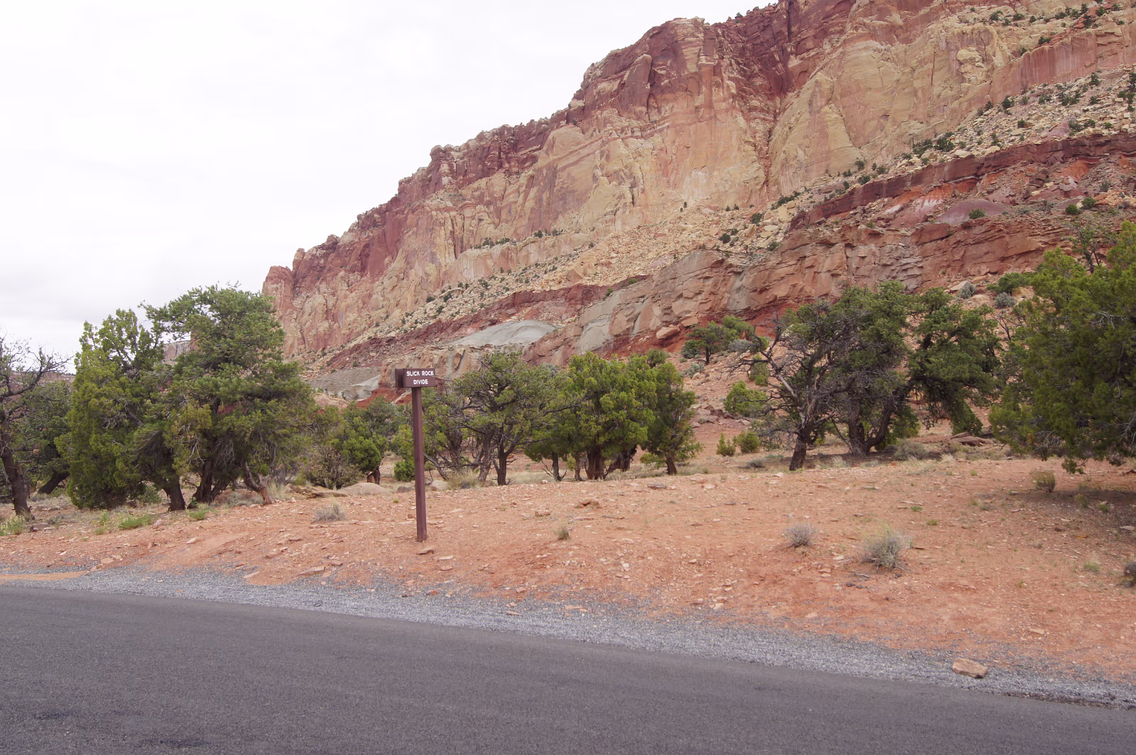
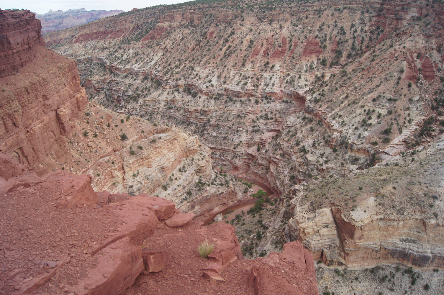
The sign says slick rock divide.
Rainfall goes either into Grand Wash or Capitol Gorge.
Rainfall goes either into Grand Wash or Capitol Gorge.
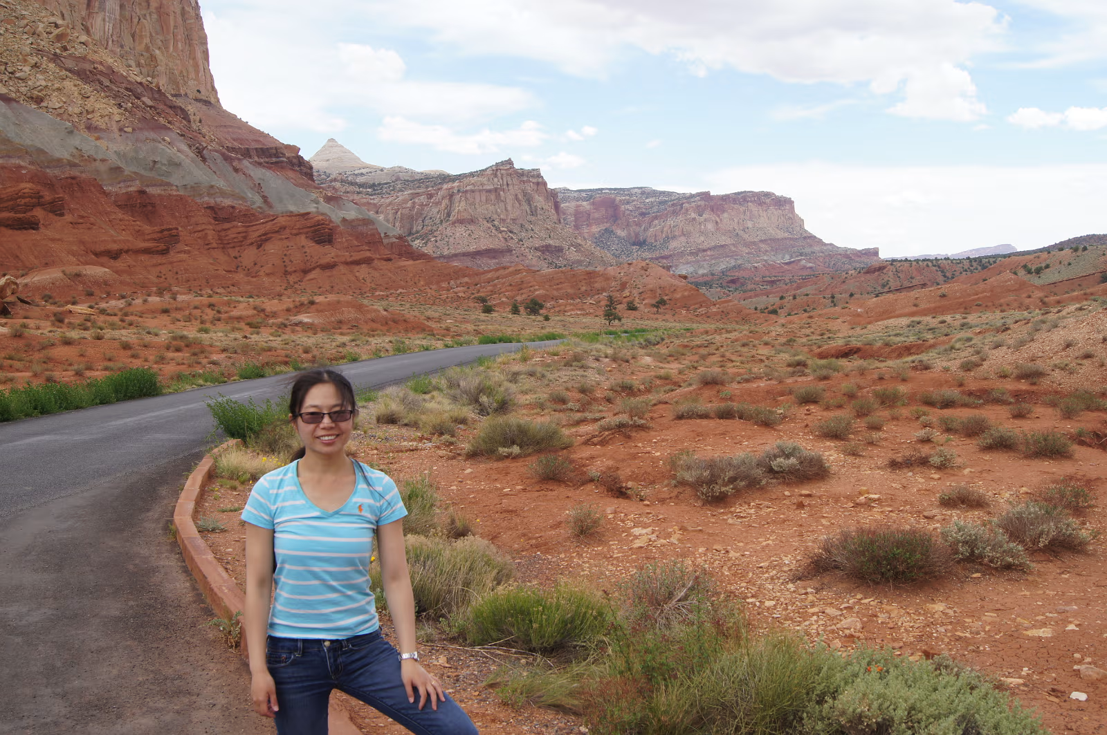
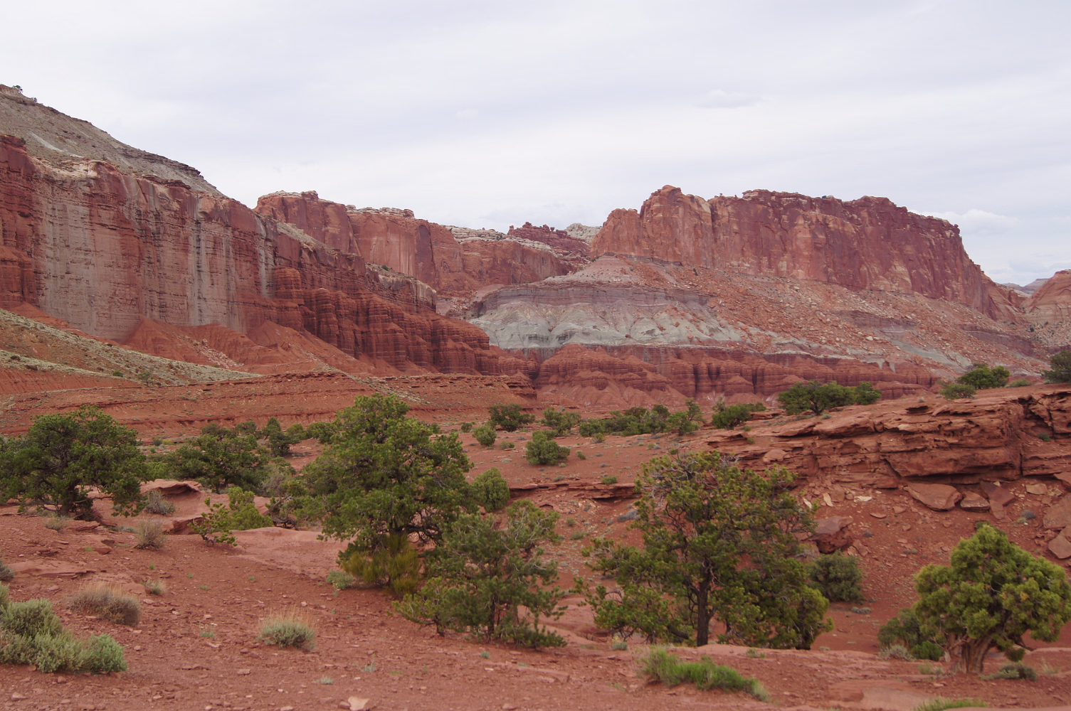
Moenkopi Formation along the Scenic Drive.
Earth's layer cake.
Earth's layer cake.

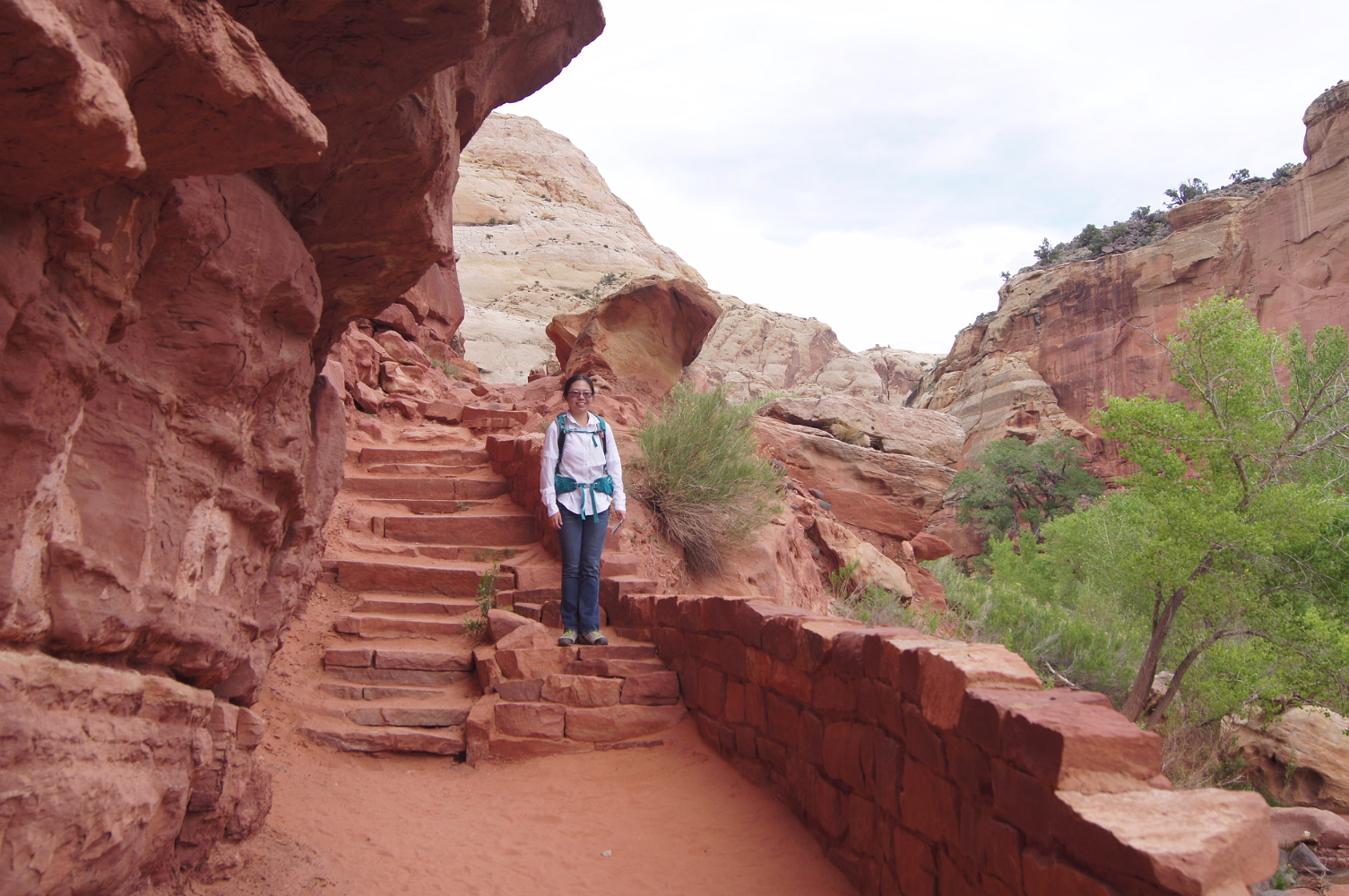
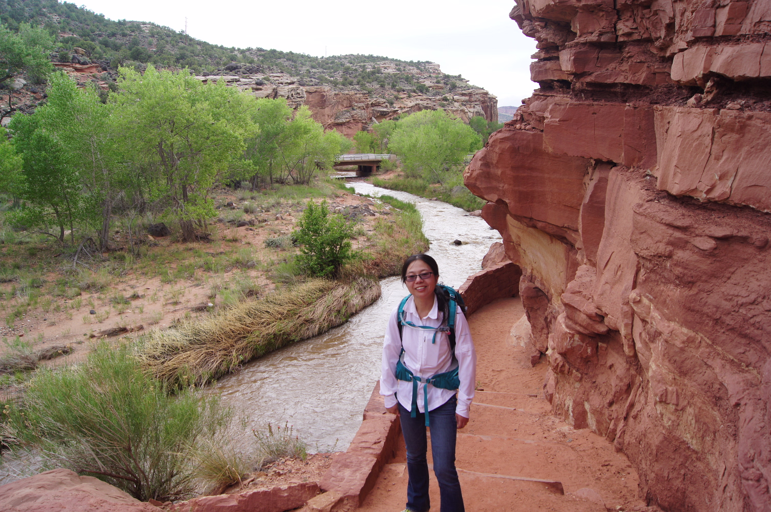
Entering Capitol Gorge
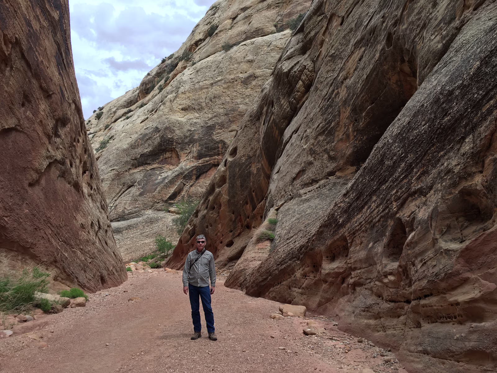
Capitol Gorge. We drove down some pretty rutted dirt roads to get to the trail.
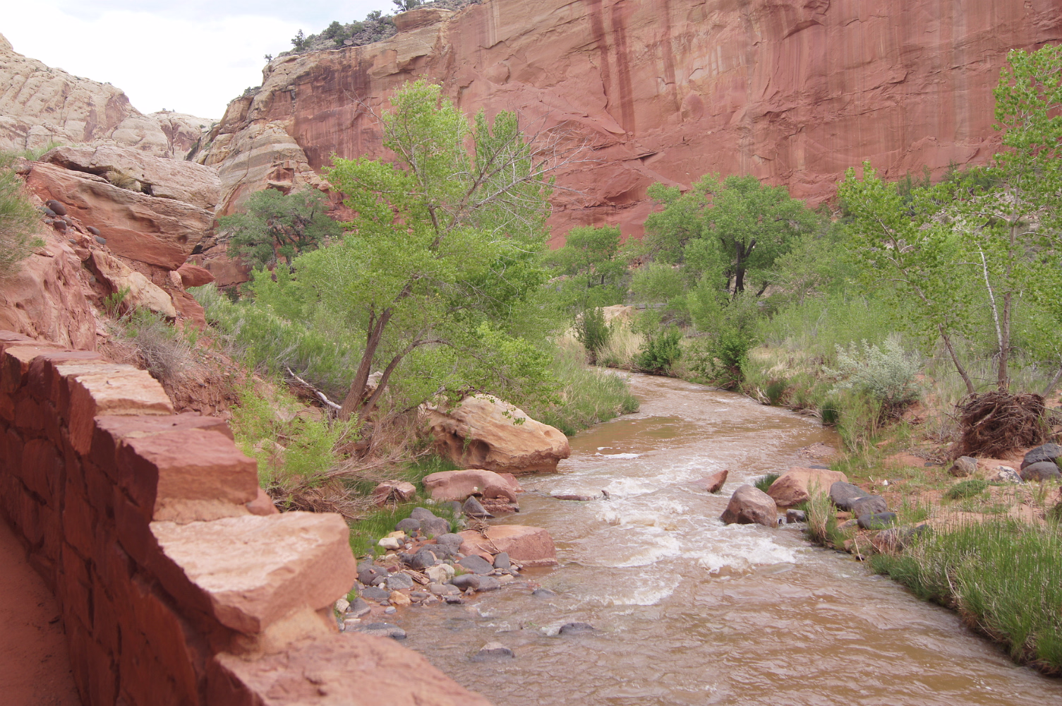
This is a river when it rains, so you have to watch the weather.
Looks kind of…
This is a river when it rains, so you have to watch the weather.
Looks kind of…
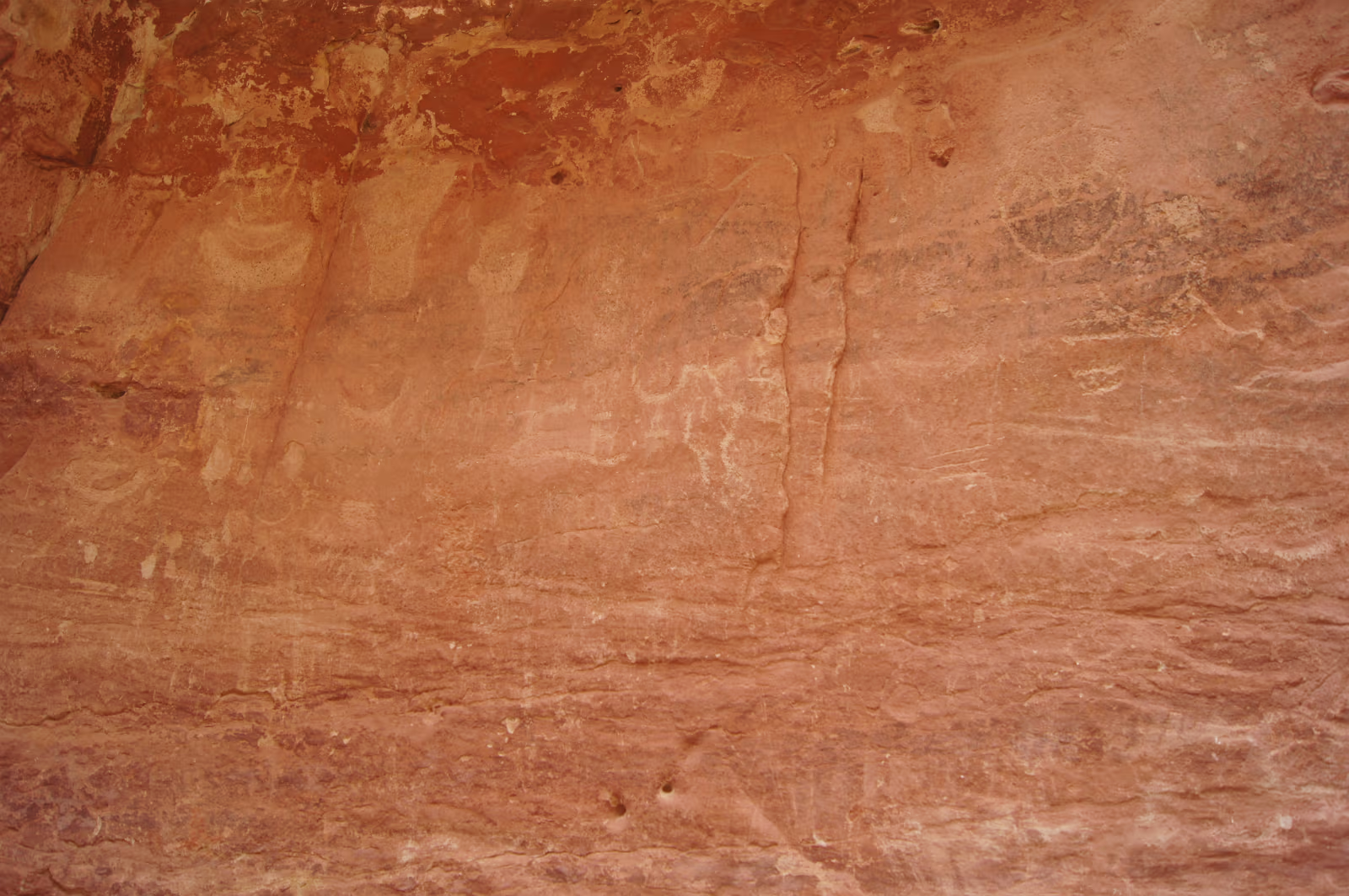
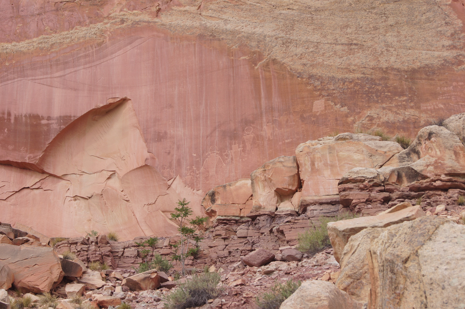
Petroglyphs. These were created by indians scraping the desert varnish off the rock.

Looks like the rising sun.
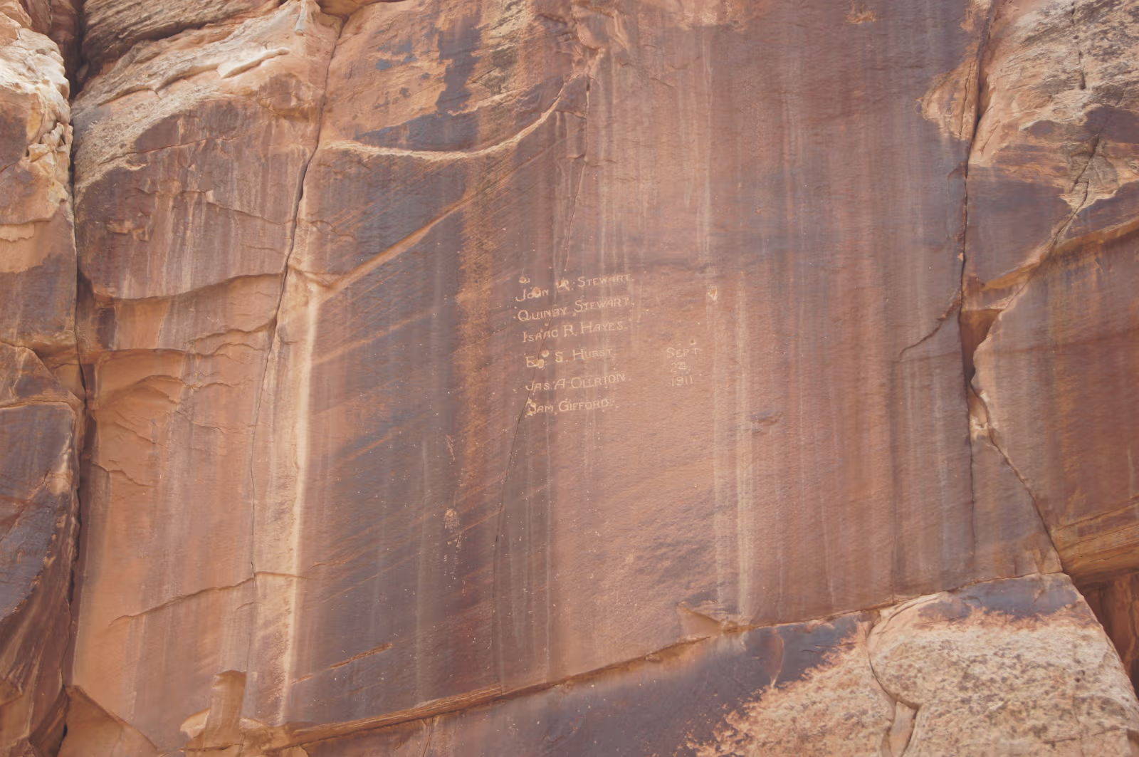
The Pioneer Registry.
This is over 50 years old, so it is a historic marker, not graffiti.
This is over 50 years old, so it is a historic marker, not graffiti.
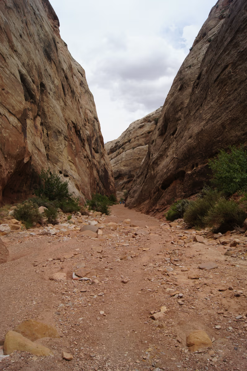
A narrow part of the gorge. It's actually a stream bed.
Clouds are getting thicker.
Clouds are getting thicker.
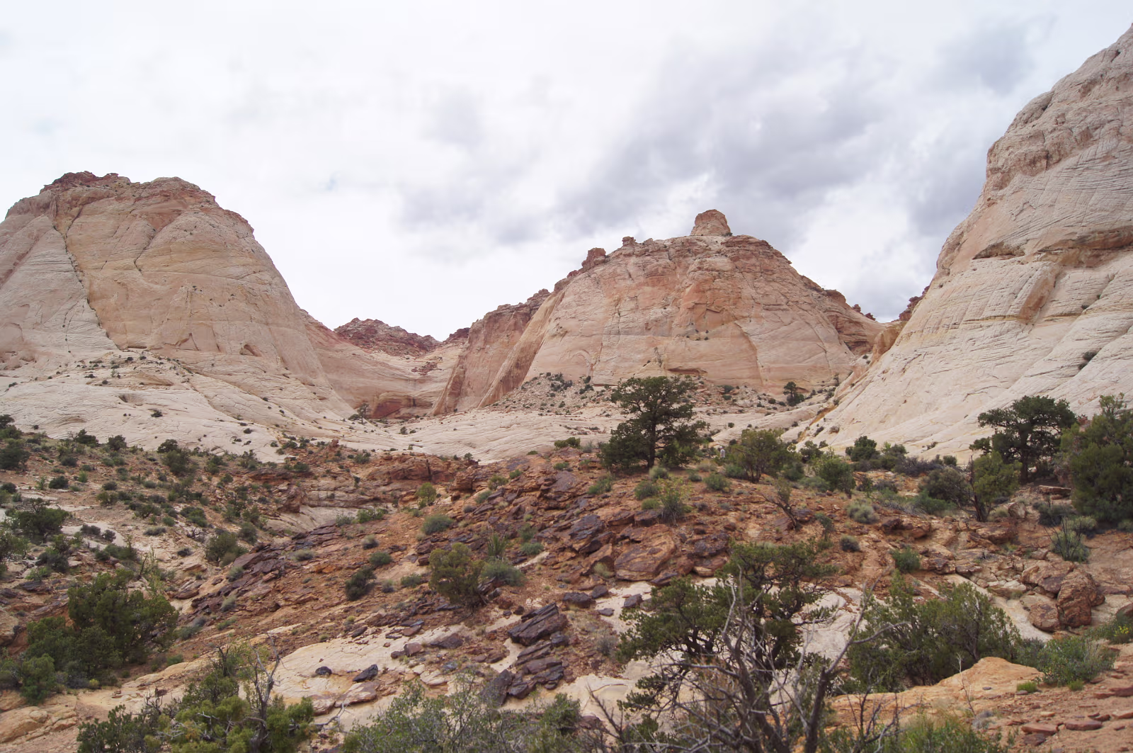
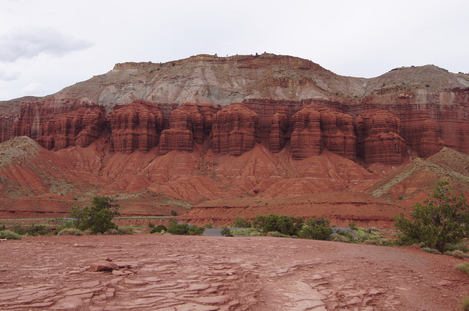
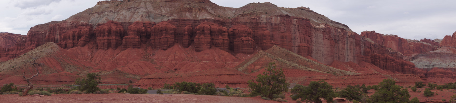
This is why it is Capitol Reef.
These look like the Capitol dome.
These are Navajo Sandstone, much harder than the red Entrada sandstone elsewhere.
These look like the Capitol dome.
These are Navajo Sandstone, much harder than the red Entrada sandstone elsewhere.
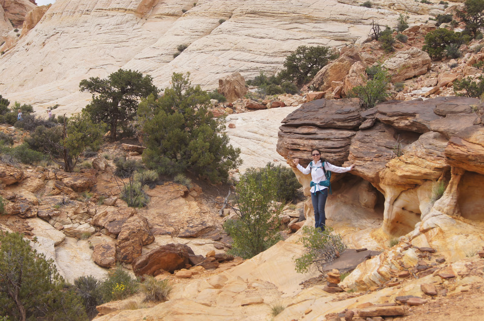
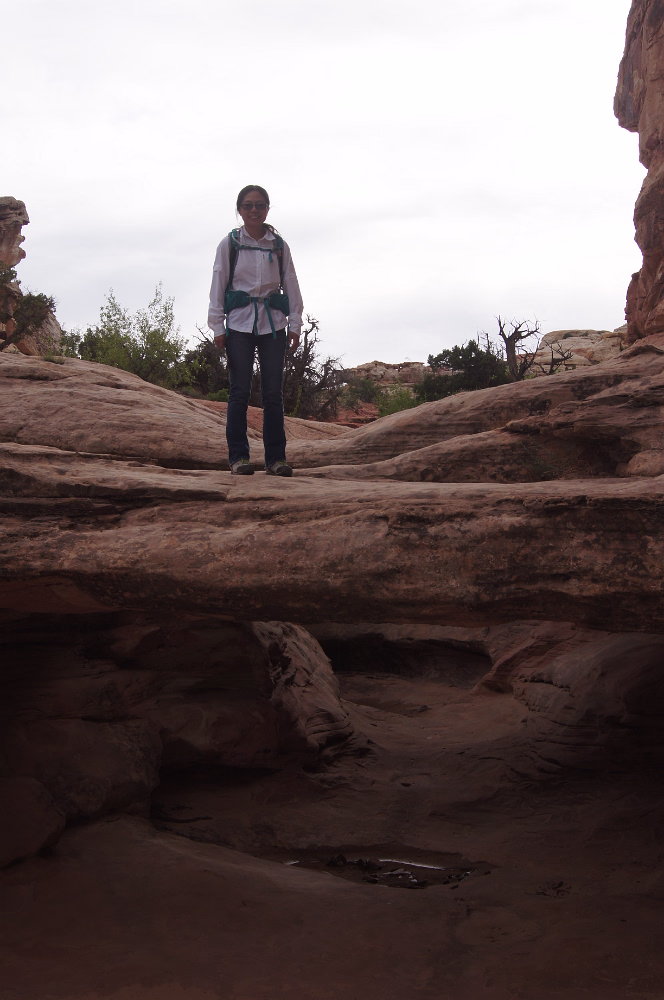
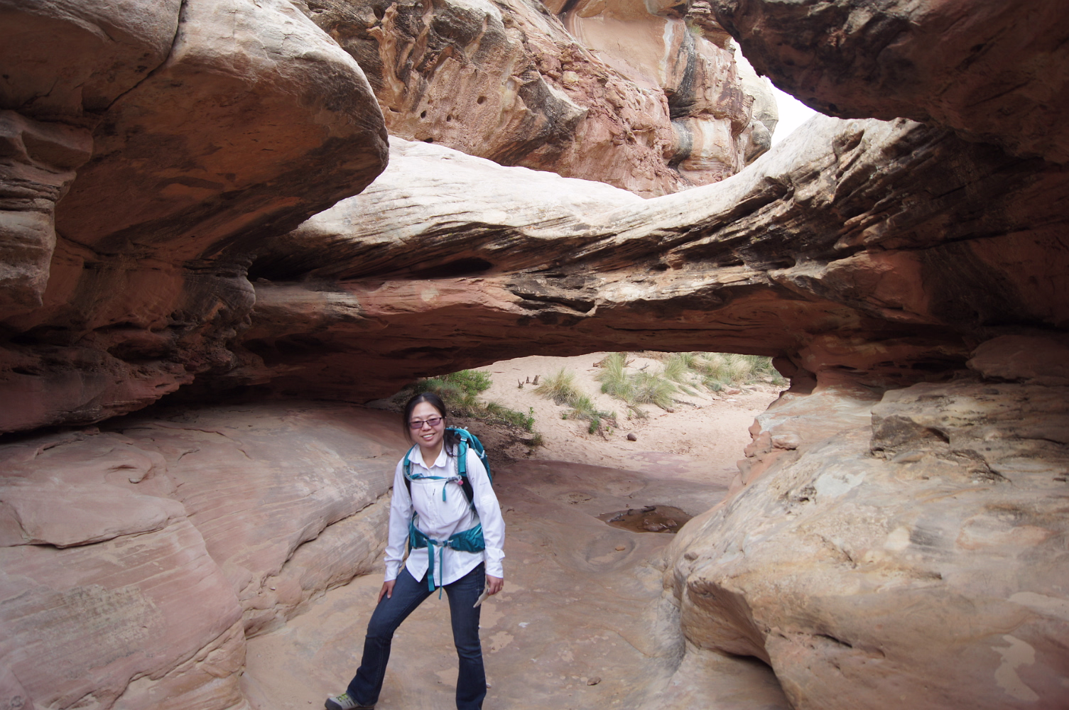
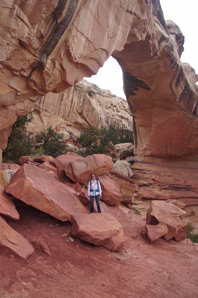
Taking a 'trail' to get to a natural bridge and some water tanks.

Safest trail I've been on so far!
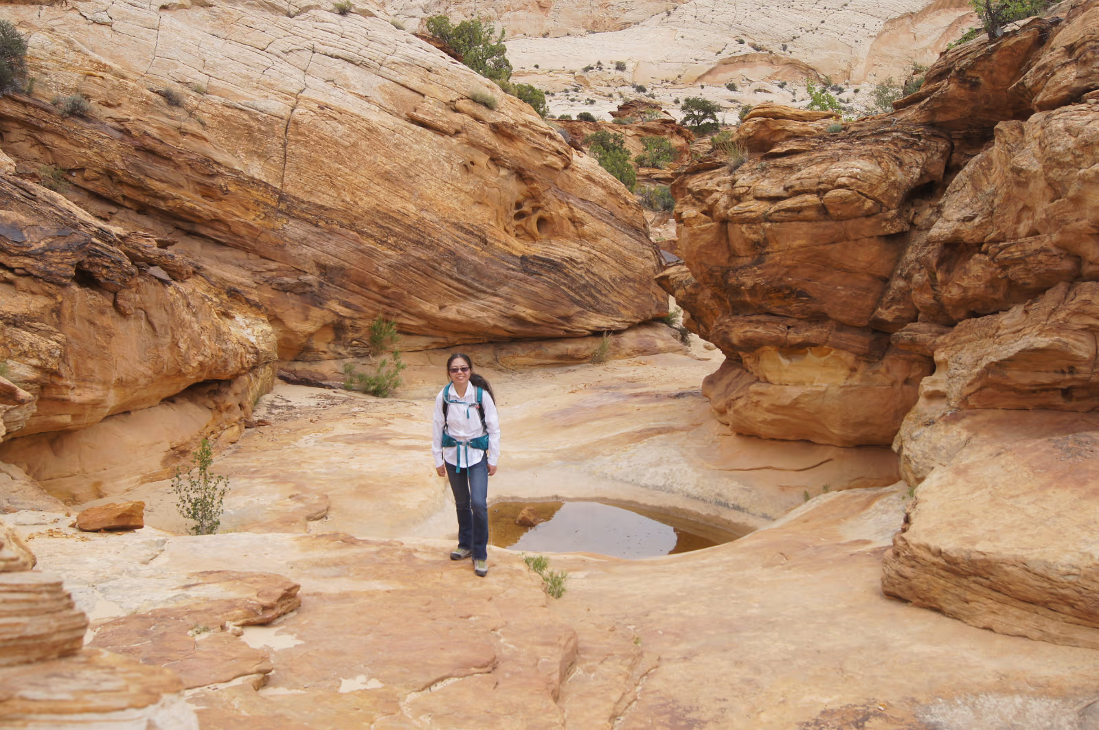
The settlers called these formations water tanks.
These simply hold rainwater and are great for the local wildlife.
These simply hold rainwater and are great for the local wildlife.
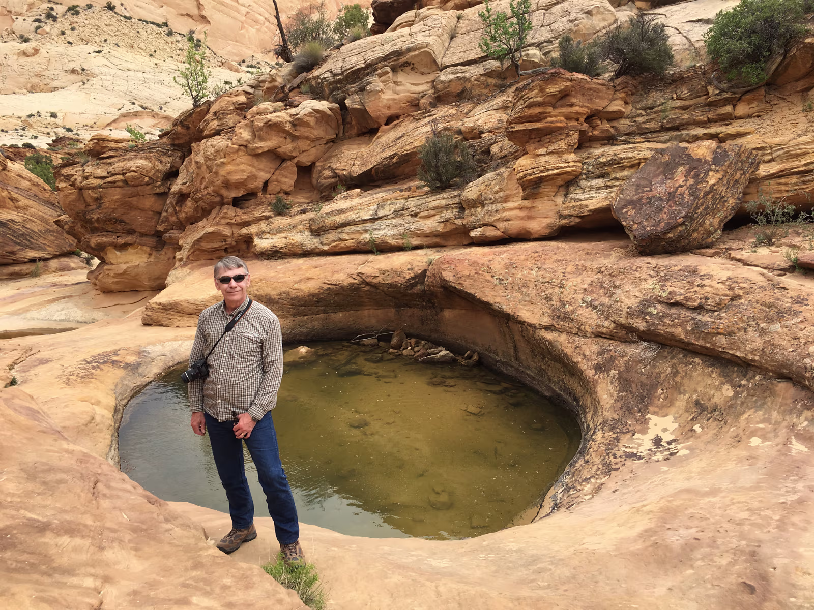
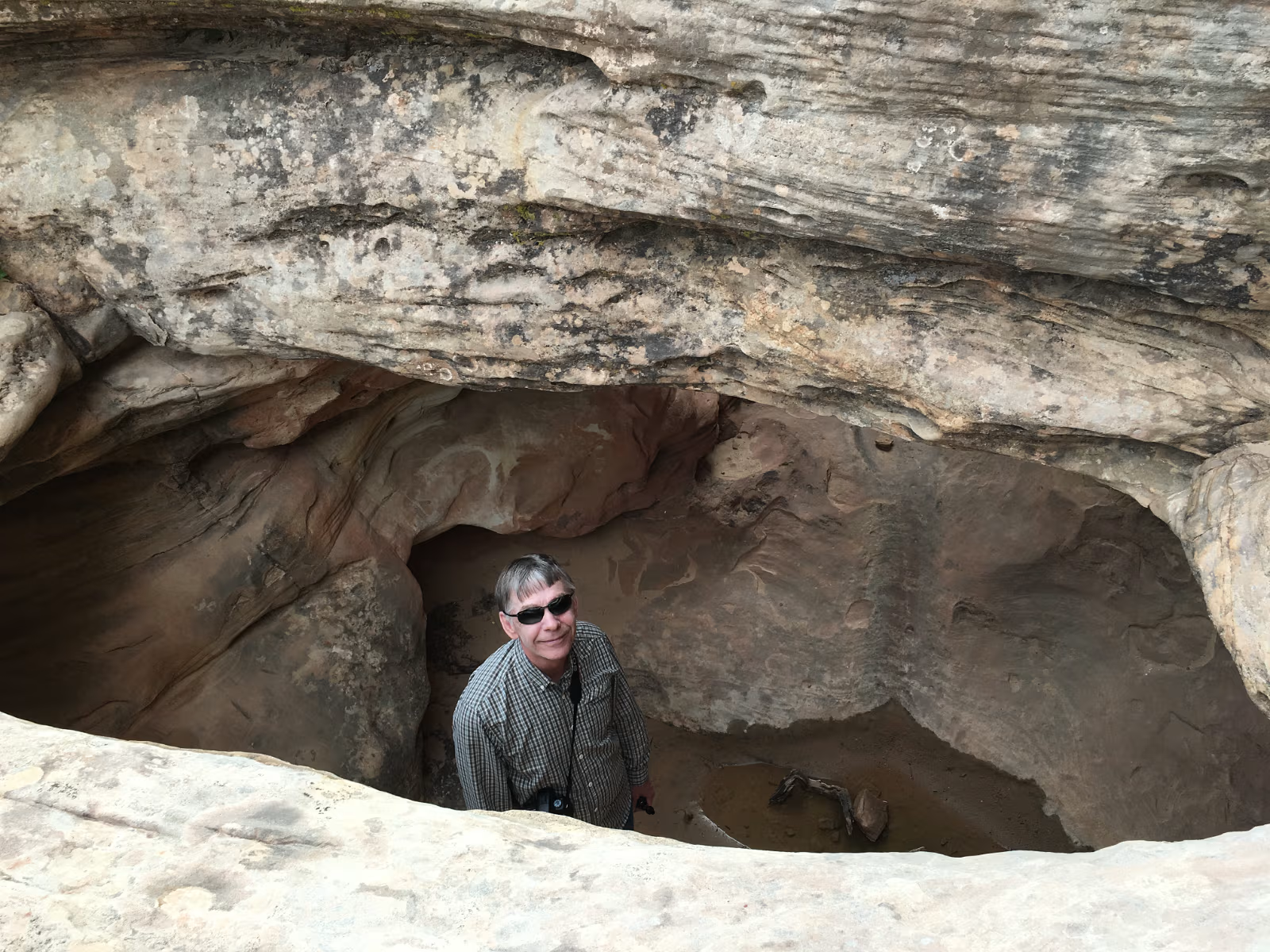
A perfect example of a water tank.
Help! I've fallen and can't get up.